|
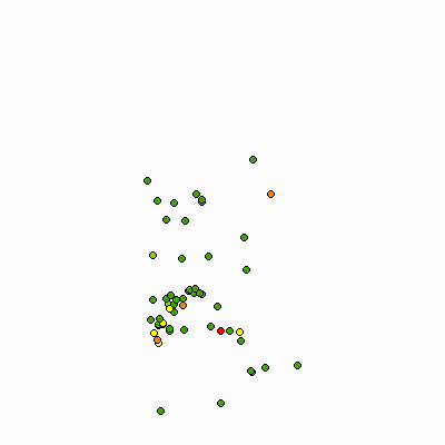
Width: 400 Height: 400 Extent:
YMin: 2005110.1084032007 XMax: 935885.4072791643 YMax: 2177850.580568205 Spatial Reference: 102671 (3435) Scale: 497492.55983521254 |
| ArcGIS REST Services Directory | Login | Get Token |
| Home > services > 2017_Nitrates (MapServer) > export | Help | API Reference |

|
Width: 400 Height: 400 Extent:
YMin: 2005110.1084032007 XMax: 935885.4072791643 YMax: 2177850.580568205 Spatial Reference: 102671 (3435) Scale: 497492.55983521254 |