|
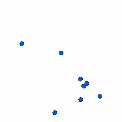
Width: 400 Height: 400 Extent:
YMin: 2028546.2907757228 XMax: 856217.8238959801 YMax: 2057910.6331611127 Spatial Reference: 102671 (3435) Scale: 84569.30606992275 |
| ArcGIS REST Services Directory | Login | Get Token |
| Home > services > Belvidere_Municipal_Wells (MapServer) > export | Help | API Reference |

|
Width: 400 Height: 400 Extent:
YMin: 2028546.2907757228 XMax: 856217.8238959801 YMax: 2057910.6331611127 Spatial Reference: 102671 (3435) Scale: 84569.30606992275 |