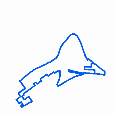
|
Width: 400 Height: 400 Extent:
YMin: 2036123.5981354527 XMax: 851559.6370975177 YMax: 2041732.257868817 Spatial Reference: 102671 (3435) Scale: 16152.940032089351 |
| ArcGIS REST Services Directory | Login | Get Token |
| Home > services > Belvidere_TIF_Districts (MapServer) > export | Help | API Reference |

|
Width: 400 Height: 400 Extent:
YMin: 2036123.5981354527 XMax: 851559.6370975177 YMax: 2041732.257868817 Spatial Reference: 102671 (3435) Scale: 16152.940032089351 |