|
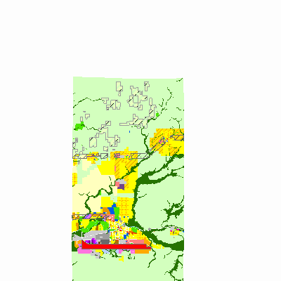
Width: 400 Height: 400 Extent:
YMin: 2007033.0344955365 XMax: 938928.8458677263 YMax: 2167208.3653904465 Spatial Reference: 102671 (3435) Scale: 461304.9529773409 |
| ArcGIS REST Services Directory | Login | Get Token |
| Home > services > Comprehensive_Plan (MapServer) > export | Help | API Reference |

|
Width: 400 Height: 400 Extent:
YMin: 2007033.0344955365 XMax: 938928.8458677263 YMax: 2167208.3653904465 Spatial Reference: 102671 (3435) Scale: 461304.9529773409 |