|
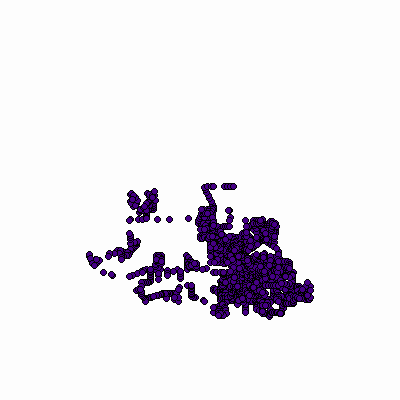
Width: 400 Height: 400 Extent:
YMin: 2015007.5984475908 XMax: 871232.779925545 YMax: 2078762.2526325525 Spatial Reference: 102671 (3435) Scale: 183613.4040526897 |
| ArcGIS REST Services Directory | Login | Get Token |
| Home > services > Fire > Hydrants (MapServer) > export | Help | API Reference |

|
Width: 400 Height: 400 Extent:
YMin: 2015007.5984475908 XMax: 871232.779925545 YMax: 2078762.2526325525 Spatial Reference: 102671 (3435) Scale: 183613.4040526897 |