|
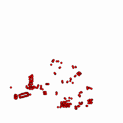
Width: 400 Height: 400 Extent:
YMin: 2023230.768123514 XMax: 863551.9226753791 YMax: 2062585.081036782 Spatial Reference: 102671 (3435) Scale: 113340.42119021146 |
| ArcGIS REST Services Directory | Login | Get Token |
| Home > services > Fire > Private_Hydrants (MapServer) > export | Help | API Reference |

|
Width: 400 Height: 400 Extent:
YMin: 2023230.768123514 XMax: 863551.9226753791 YMax: 2062585.081036782 Spatial Reference: 102671 (3435) Scale: 113340.42119021146 |