|
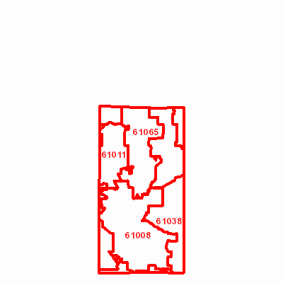
Width: 400 Height: 400 Extent:
YMin: 1991136.8752753432 XMax: 957624.0896244564 YMax: 2203029.6108730156 Spatial Reference: 102671 (3435) Scale: 610251.0785212965 |
| ArcGIS REST Services Directory | Login | Get Token |
| Home > services > ZipCodes (MapServer) > export | Help | API Reference |

|
Width: 400 Height: 400 Extent:
YMin: 1991136.8752753432 XMax: 957624.0896244564 YMax: 2203029.6108730156 Spatial Reference: 102671 (3435) Scale: 610251.0785212965 |