|
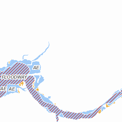
Width: 400 Height: 400 Extent:
YMin: 2035170.01415529 XMax: 848599.4954656656 YMax: 2050716.88915529 Spatial Reference: 102671 (3435) Scale: 44775.0 |
| ArcGIS REST Services Directory | Login | Get Token |
| Home > services > flood_zones (MapServer) > export | Help | API Reference |

|
Width: 400 Height: 400 Extent:
YMin: 2035170.01415529 XMax: 848599.4954656656 YMax: 2050716.88915529 Spatial Reference: 102671 (3435) Scale: 44775.0 |